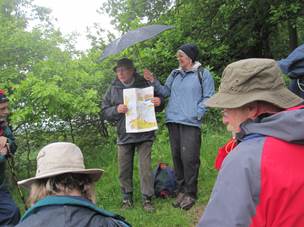
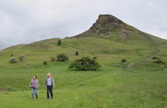
For the second year running rain played a part in our excursion to Roseberry Topping. Some twenty people braved the periodic heavy but brief showers to enjoy a circumnavigation and ascent of Yorkshire’s “Matterhorn”.
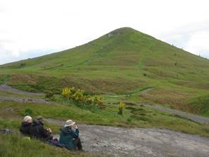
Commencing on the glacial tills from the last glaciation we climbed gradually over the Redcar Mudstone Formation before a steeper ascent brought us onto the bench forming the top of the Staithes Sandstone Formation. From here we could appreciate how the geology has a direct influence on the topography and features such as the Cleveland escarpment and the nearby Cleveland Dyke could be clearly viewed.
With the passing of time and the growth of vegetation it was difficult to appreciate that the area we were looking at had, until only about 90 years ago, been one of extensive mining and quarrying operations. Ironstone, alum, jet, building stone and roadstone have all been worked in this area in past times.
Evidence for the once extensive ironstone industry was pointed out in the form of humps and hollows which mirrored the old pillar and stall workings, old railway tracks and even the gunpowder store.
A steep ascent of Roseberry Topping took us over the Whitby Mudstone Formation onto the middle Jurassic Saltwick Formation which forms the cap of the Topping. After admiring the extensive view we descended to see the old jet workings and possible prehistoric earthworks before dropping down through the attractive woodland to return to the car park.