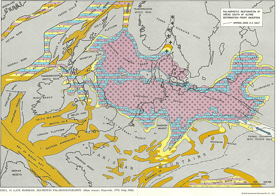
In the late Permian, about 270 million years ago, what is now NW Europe was part of the supercontintent Pangea. The location that is now Scarborough was just north of the equator in a hot arid climate. A desert landscape with sand dunes and salt lakes extended from northeast England to Poland. It eventually became a sea fringed by carbonate shelves. High rates of evaporation concentrated salts and minerals were precipitated out of solution.
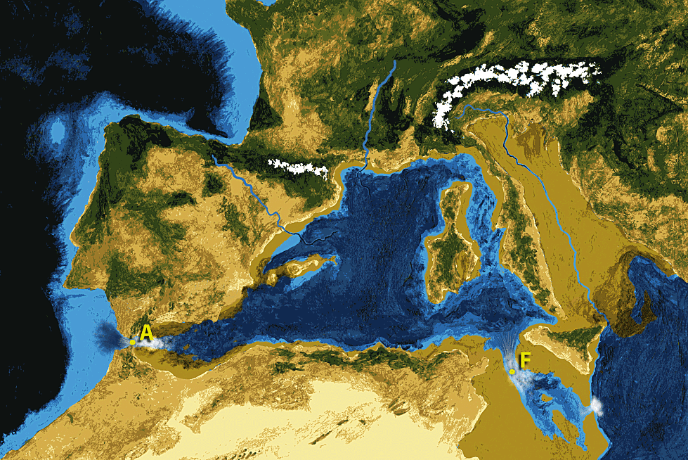
It is thought the Mediterranean of ca. 5 million years ago formed a similar system, periodically with restricted access to or even cut off from open water.
Deposition in the Zechstein was of a cyclical nature. At periods of high sea level, or where there were no barriers to connection with the open ocean, carbonate shelves formed around the basinal sea, with desert and sabkha conditions behind. When access to the open ocean was cut off, minerals such as gypsum and anhydrite were deposited as wedges on the shelf edge or ramp. Anhydrite is thought to have later altered in the NE Yorkshire area to form the complex mineral polyhalite. If the basin remained cut off, more complete evaporation would allow minerals to be deposited in the basin centre. Slow seepage through the shelf edges could replenish fluids, allowing the deposition of large columns of halite with the associated KCl (sylvite), mined as potash at Boulby. Reconnection with the ocean could initially allow the influx of more minerals (so-called ‘shelf’ deposits) and eventually a new inland sea and the start of the next cycle.
Five overall Zechstein cycles are recognised with sylvite mainly occurring in the third and fourth cycles. The Fordon Evaporites of the second cycle (Z2) contain up to 400m thickness of salts below NE Yorkshire and two main layers or seams of polyhalite have been found, thought to be basin floor (lower) and shelf (upper) deposits. These polyhalites are the main targets for the current exploration by York Potash. In those parts of the Zechstein basin where the salt is thicker, it flows into domes forming hydrocarbon traps. In northeast England there is little salt flow and the salt layers remain largely undisturbed.
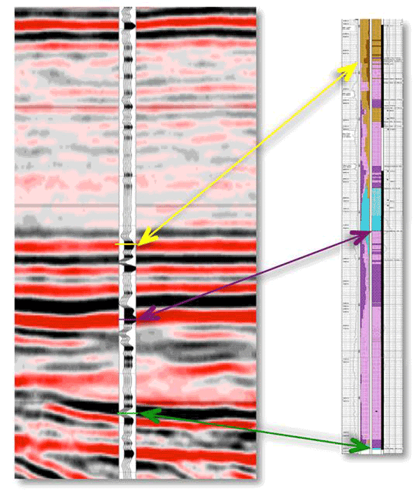
Seismic data have been used in the search for potash, many of the profiles being recorded by oil companies for hydrocarbon exploration in the 1980s and 90s. In the York Potash project, the seismic is used to connect between boreholes and assist the mapping.
Some reprocessing of the old seismic was needed to map seismic events structurally and stratigraphically. Initial maps showed the relatively favourable position of this area for the polyhalites in the Z2 as being on the Cleveland high (so not too deep for mining), but on the shelf edge and deeper part of the basin where the two polyhalite seams have developed.
Five new seismic lines were planned to connect the modern boreholes and were recorded by CGGVeritas in July 2012. The new seismic results have been incorporated into updated maps that are being used for resource calculations.